 |
 |
ISW and AEI's CTP Launch New Interactive Map of Iran and the Middle East
Institute for the Study of War and AEI's Critical Threats Project Launch New Interactive Map of Iran
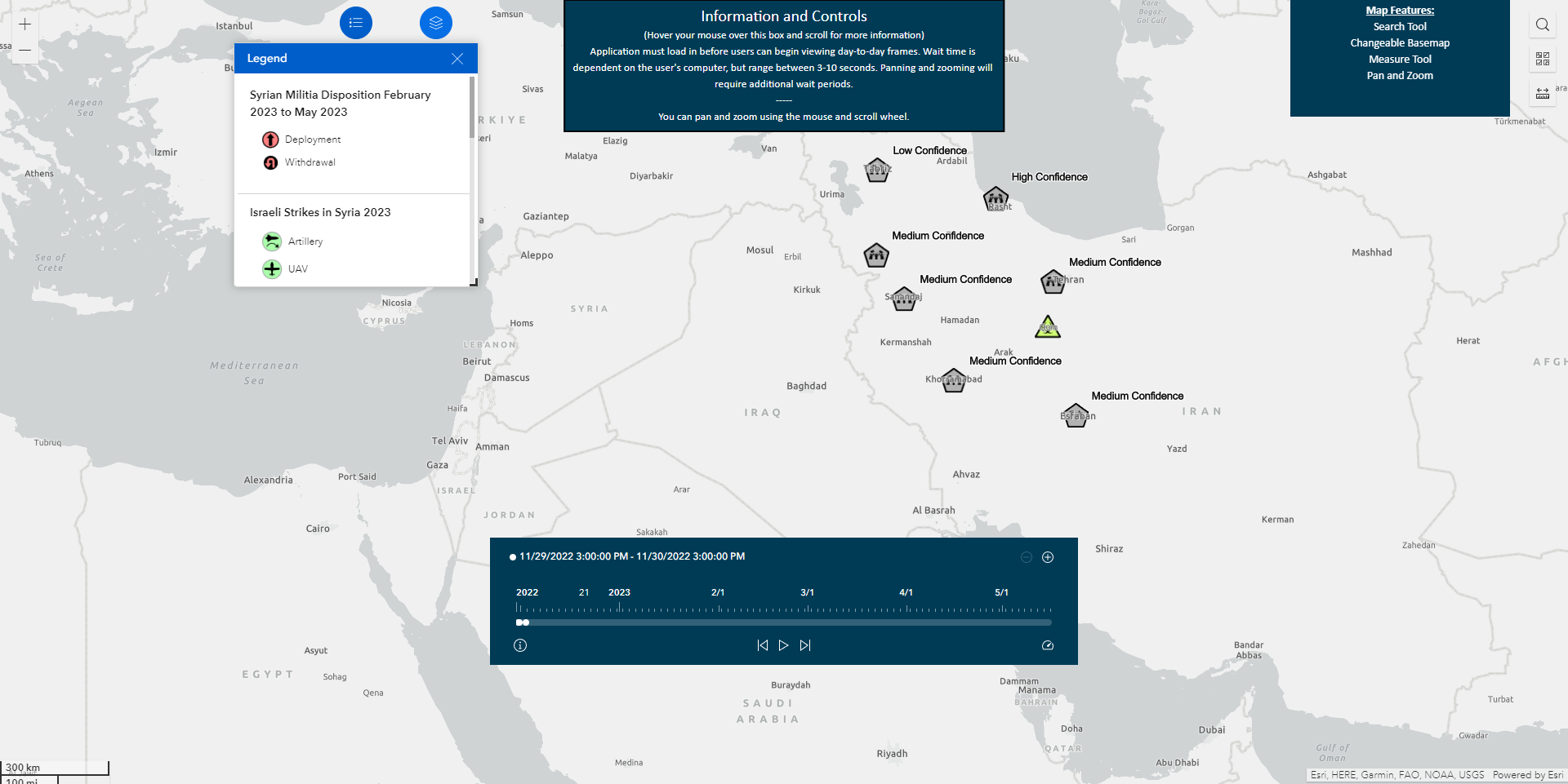
The Institute for the Study of War (ISW) with support from the Critical Threats Project (CTP) at the American Enterprise Institute is launching a new interactive map of Iran and the Middle East. The map depicts events in Iran that affect the stability of the Iranian regime, namely anti-regime protests and reported poisoning incidents. It also shows developments in Syria that jeopardize regional stability and pose threats to US forces and interests, including Iranian and Iranian-backed militia positions. ISW created each of these data layer events in accordance with ISW’s research methodology.
The map has several tools that enable users to explore the data by type and over time. Users can see events automatically populate on the map by date by hitting play on the timeline. They can alternatively click backward and forward on the timeline manually. Users also can turn individual map layers off and on to view specific events of interest. They can, for example, show anti-regime protests in Iran to see how the protests spread through the country over time.
Users also can depict anti-regime protests and reported poisonings to see the extent to which the two data sets overlap. Users can click on each data point to see the date and location of the event, as well as ISW’s confidence level in the data.
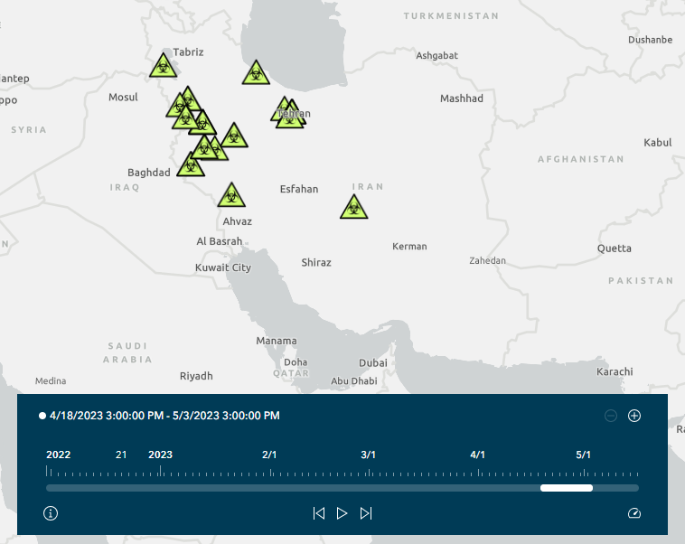
Reported Poisoning in Iran, April 18 - May 3
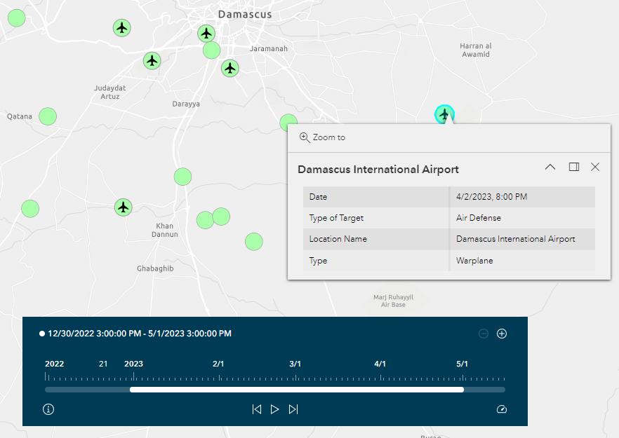
Israeli Airstrikes In the vicinity of Damascus, Syria, January - April 2023
ISW is making these data layers publicly available as part of its non-partisan, non-ideological, and fact-based research policy to help shape informed national security policy. ISW will update the data layers over time. They currently display events that occurred between November 2022 and May 2023.
ISW and CTP collaborate on the Iran Project, which features daily updates every weekday.


