 |
 |
Interactive Map Portfolio

This page collects all of ISW's interactive map products. It includes both actively, i.e., regularly, updated maps and archived maps, which are not or no longer updated.
Russia-Ukraine Products:
Russian Control-of-Terrain in Ukraine complements the static control-of-terrain maps that ISW daily produces with high fidelity and, where possible, street-level assessments of the war in Ukraine. Updated Daily.
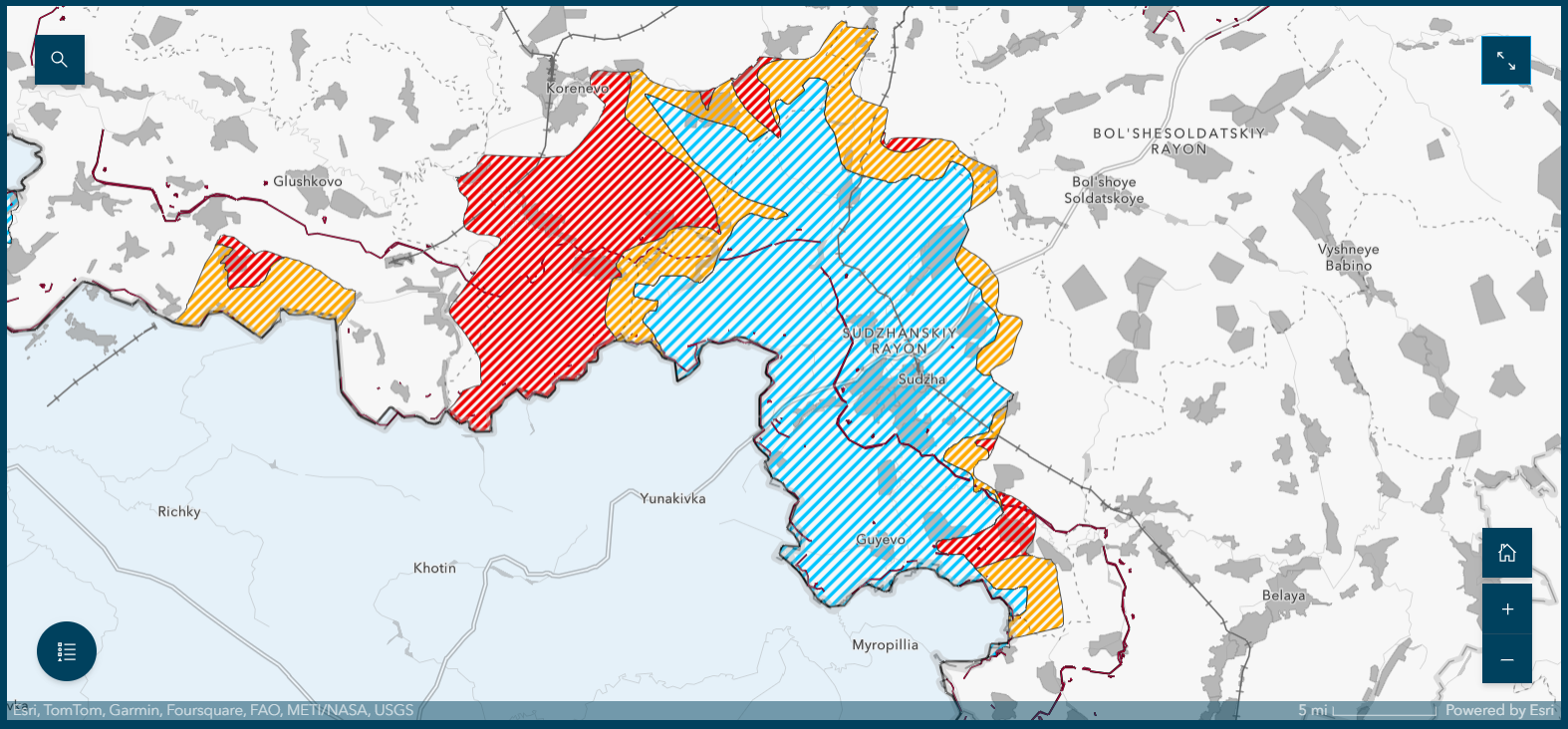
Ukraine’s Incursion into Kursk Oblast depicts Russian territory that Russian sources claimed are Ukrainian-occupied within Kursk Oblast when there is no observed contradictory evidence that could disprove the Russian claim. (NB: The Claimed Limit of Ukrainian Advance layer does not show control of terrain.) It also depicts claimed and observed Russian advances in Russia. Updated Daily.
Middle East Products:
Assessed Control-of-Terrian in Syria complements the daily conflict coverage that the combined ISW-CTP team produces in the Iran Update. Updated Daily.
Archived Products:
Gaza Control-of-Terrain complements the static control-of-terrain maps that ISW daily produces with high fidelity and, where possible, street-level assessments. (Archived: Feb. 19, 2025)
Russian Military Objects within Ukrainian ATACMS Range allows users to inspect the 225 known Russian military objects in Russia that are in range of Ukrainian ATACMS. This interactive map is a complementary tool to the August 27, 2024, special report, “Interactive Map: Hundreds of Known Russian Military Objects Are in Range of ATACMS.”
Russian Regular Ground Forces Order of Battle shows command and control lines of each Russian military district. This product shows additional ORBAT details the further a user zooms in. Read ISW's complementary October 12, 2023, special report.


